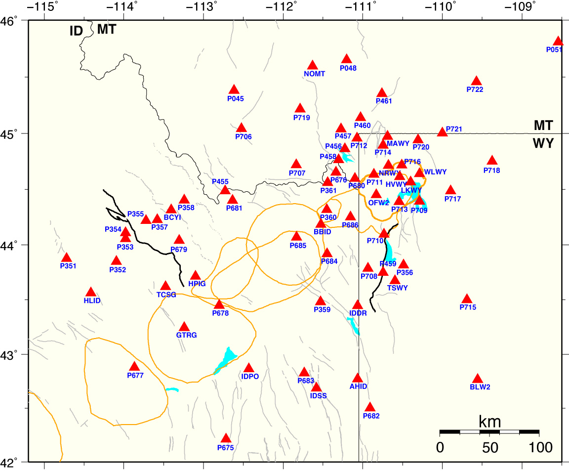
Yellowstone-Snake-River-Plain GPS Network
(Click station for time series.)
We process the CGPS data, with
IGS
precise (final) orbit, using
BPE (Bernese Processing Engine) .
The daily solutions of station coordinates are constrained to seven remote
NGS CORS sites
(ALBH, DRAO, GOLD, MD01, NLIB, PIE1, QUIN) in an
ITRF2005 reference frame.
To get the time series (residual plot) of each site, we use the
Helmert transformation to translate and rotate
the station coordinates onto a stable North American reference frame, WUSC.
NGS CORS sites
onto a stable North American reference frame.
Apr 2005-Mar 2012 Yellowston/Snake River Plain GPS-Derived Horizontal Velocity Map.
Jan 2005-Dec 2009 & Apr 2010-Mar 2012 3-Component Yellowstone Caldera GPS-Derived Velocity Maps.
Go to Wasatch Front GPS network page
Go to Seismology and Active Tectonics home page
For questions regarding this page, contact
Jamie Farrell
Research supported by the NSF Continental Dynamics Project, NSF-EarthScope,
U.S. Geological Survey Earthquake Hazards Program, Yellowstone Volcano Observatory,
and the National Park Service.