Horizontal Ground Motion and Time Series
Yellowstone, Snake River Plain, and Wasatch Fault (1997-2005)
(Click station name to view time series)

  • We estimate site velocity using ADDNEQ, a program that was developed to compute multi-session solutions from the combination of a set of single-session normal equations (.NEQ). We use an absolute-free strategy, where velocities are estimated with respect to a stable North American velocity frame that was obtained from the WUSC velocity solution.
  • The station time-series plots show the residuals of the ITRF2000 velocity field, together with daily weighted rms (one-sigma).

  •  

    Note:

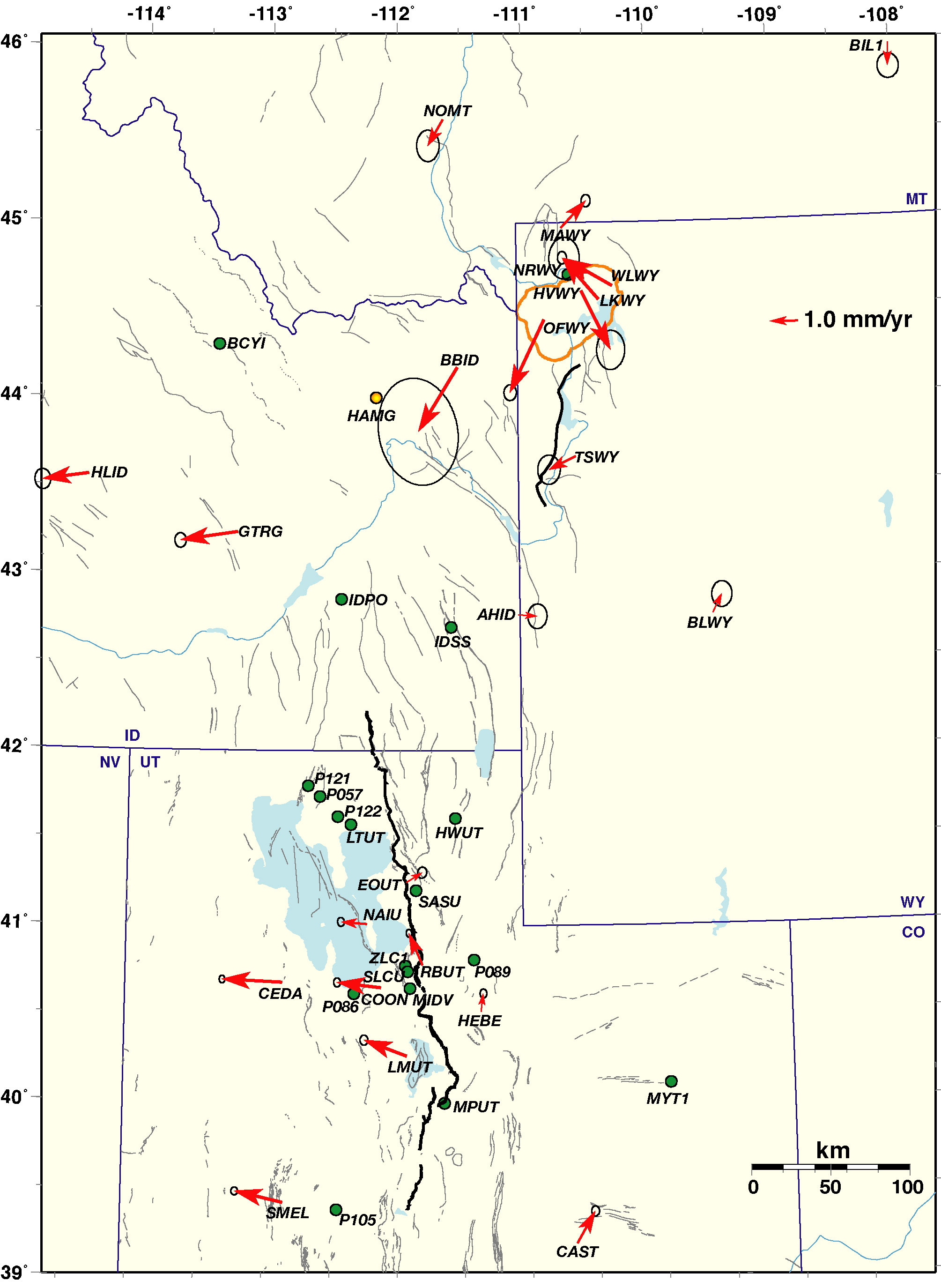
  • Data from continuous GPS stations operated by the University of Utah and other geoetic networks, including BARGEN , NGS-CORS, the Idaho National Laboratory (INL), and the Plate Boundary Observatory (PBO).

  • Error ellipses show two standard-deviations (95% confident intervals).

  • Stations with green circles do not have enough data (< one year) to obtain accurate velocity vectors.

  • 3-D velocity solution in a stable North America reference frame.

  • Horizontal velocity vectors in GMT format.
  • Go to Seismology and Active Tectonics home page
    Go to the permanent GPS network information page

    For questions regarding this page, contact Wu-Lung Chang: wchang@mines.utah.edu